Scanning radar, showing 134 1,900-year-old “ghost villages” in the middle of the field-Travel
Scientists call it an archaeological breakthrough because the newly discovered “ghost villages” can provide a lot of data about the Roman occupation of England, with major turning points in civilization and politics. treat.
The study was led by Dr. Manuel Fernández-Götz, Head of the Department of Archeology at the University of Edinburgh (Scotland – UK). The researchers used LiDAR, a laser reconnaissance method, to collect detailed radar images of the area around the famous Hadrian’s Wall in Scotland.

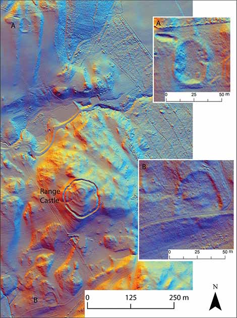
Lidar data reveals ghostly structures hidden under the green carpet of the Scottish Highlands – Photo: ANTIQUITY
The results were absolutely shocking: Some 134 previously unknown Iron Age settlements, with many ruins of homes and farms, appeared ghostly in photographs of the Burnswark region adjacent to Hadrian’s Wall.
Hadrian was emperor of the Roman Empire from 117 to 138 AD. The second half of his reign, in 122 AD, work on the construction of the wall named after him began.
Hadrian’s Wall represents the northernmost border of the Empire, which has stood for about 20 years. This was also the period when the newly discovered “ghost villages” existed.
From the safety and security of Hadrian’s Wall, the Romans expanded further North and built the Antonine Wall, which served as the newest Roman border at the North Pole. Construction began in AD 142 under the command of his successor Antonius Pius, and took 12 years to complete.

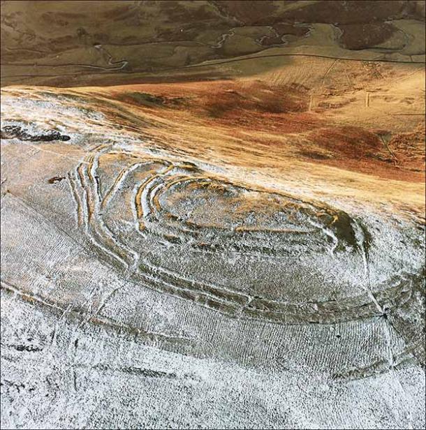
Traces of a “ghost village” – Photo: ANTIQUITY
“This was one of the most interesting areas of the Empire, because Scotland was one of the very few regions in Western Europe where the Roman army never established full control” – Dr Fernández – Gotz said.
The discovery of the ruins of the “ghost villages” will help provide details about the life of the people of this period, how civilization developed in the context of the Roman invasion but did not really control the area. area.
The 1,500 square kilometer study area is just one part of the overall project. Scientists estimate that there are about 700 similar settlements hidden beneath the proposed survey area stretching from between Durham and the Southern Scottish Highlands.
The preliminary study was just published in Antiquity.
at Blogtuan.info – Source: 24h.com.vn – Read the original article here


